

Free Mount Everest Geography Worksheet for Kids
 Sample preview — enter your email to unlock the full printable
 Your instant Mount Everest explorer sheet — fun facts and activities. Enter your email and we'll send it now.
Instant PDF · Includes US Letter + A4
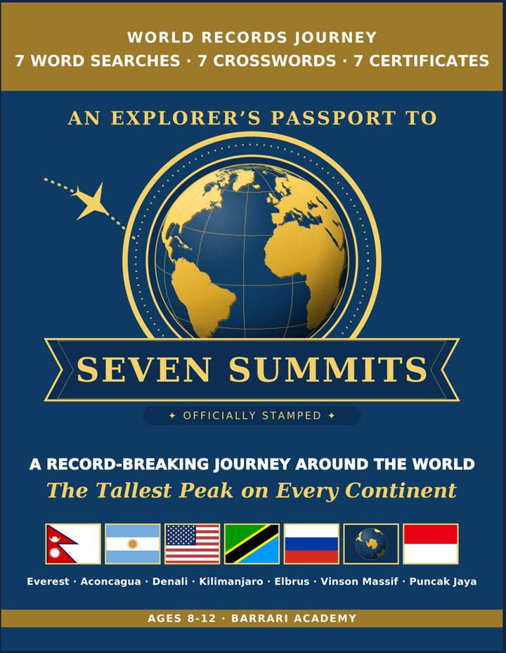
Seven Summits: Learning & Activity — a printable learning & activity book, with certificates.
See what's inside the book → Printed book on Amazon →
Seven Summits Activity Pack — extra puzzles & activities.
See what's inside the pack →✓ Instant PDF · US Letter + A4 · Explorer Certificate · Built by a teacher · 30-day money-back guarantee
Mount Everest Facts for Kids
About Mount Everest: Mount Everest sits on the border between Nepal and Tibet (China), high in the Himalayas. It is the tallest mountain above sea level anywhere on Earth, and reaching its summit is considered one of the greatest achievements in mountaineering. Hundreds of climbers attempt it every spring, braving thin air and extreme cold. Still Growing Taller — Everest grows about 4 mm higher every year as tectonic plates continue to push the Himalayas upward.
Location: Nepal & Tibet (China) border · Height: 8,849 m (29,032 ft) · Mountain Range: The Himalayas · First Ascent: 1953 · Climbing Season: Spring (April–May) · Local Names: Sagarmatha & Chomolungma · Climbers Per Year: Several hundred summit · Danger Zone: The 'Death Zone' · Continent Rank: Tallest peak in Asia
Free Mount Everest Geography Worksheet — FAQ
- Is the Mount Everest worksheet free?
- Yes. Enter a parent email and we'll send the printable Mount Everest geography worksheet — US Letter and A4 — right away, free.
- What age is the Mount Everest worksheet for?
- It's designed for kids ages 8–12, at home or in the classroom.
- What's a fun fact about Mount Everest for kids?
- Still Growing Taller — Everest grows about 4 mm higher every year as tectonic plates continue to push the Himalayas upward.