

Free Madagascar Geography Worksheet for Kids
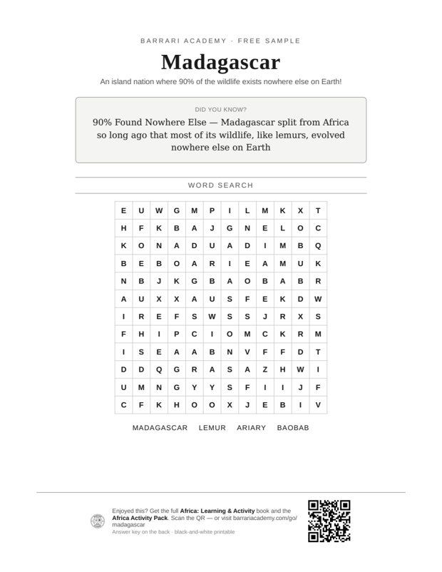 Sample preview — enter your email to unlock the full printable
 Your instant Madagascar explorer sheet — fun facts and activities. Enter your email and we'll send it now.
Instant PDF · Includes US Letter + A4
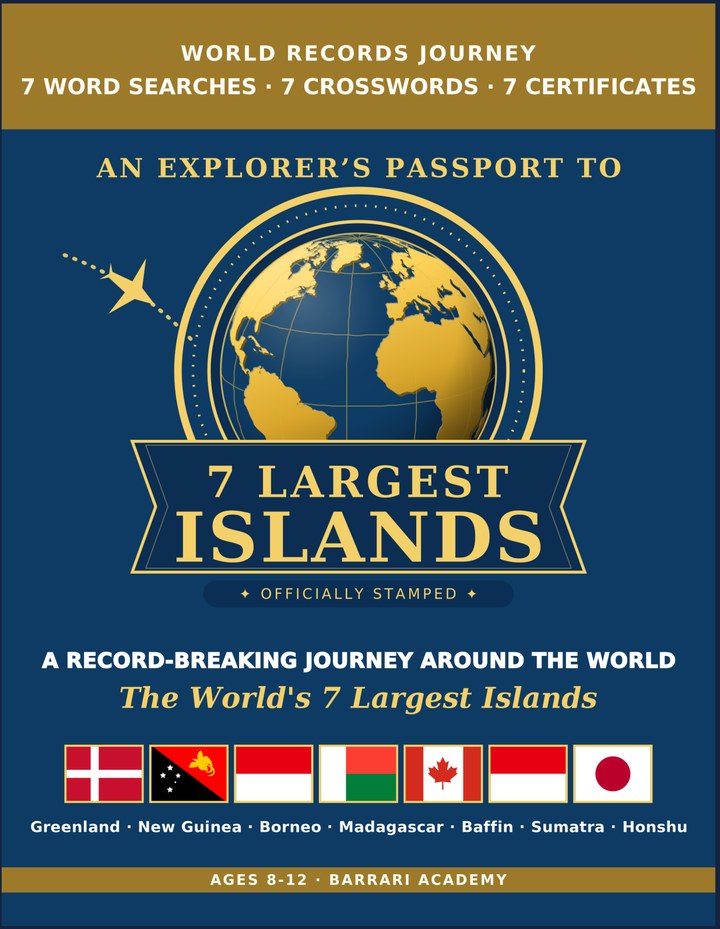
Largest Islands: Learning & Activity — a printable learning & activity book, with certificates.
See what's inside the book → Printed book on Amazon →
Largest Islands Activity Pack — extra puzzles & activities.
See what's inside the pack →✓ Instant PDF · US Letter + A4 · Explorer Certificate · Built by a teacher · 30-day money-back guarantee
Madagascar Facts for Kids
About Madagascar: Madagascar broke away from mainland Africa around 160 million years ago, and its plants and animals evolved in isolation ever since. Today, roughly 90% of its wildlife — including all of its famous lemurs — is found nowhere else on the planet, making it one of the world's most important biodiversity hotspots. A Biodiversity Hotspot — Scientists consider Madagascar one of the most important biodiversity hotspots on Earth.
Location: Indian Ocean, off southeast Africa · Area: 587,041 km² (226,658 mi²) The fourth-largest island in the world. · Nation: An independent country · Population: About 30 million people · Wildlife: Lemurs found nowhere else · Separation: Split from Africa ~160 million years ago · Highest Point: Maromokotro, 2,876 m · Capital: Antananarivo Madagascar's capital and largest city. · Languages: Malagasy & French
Free Madagascar Geography Worksheet — FAQ
- Is the Madagascar worksheet free?
- Yes. Enter a parent email and we'll send the printable Madagascar geography worksheet — US Letter and A4 — right away, free.
- What age is the Madagascar worksheet for?
- It's designed for kids ages 8–12, at home or in the classroom.
- What's a fun fact about Madagascar for kids?
- A Biodiversity Hotspot — Scientists consider Madagascar one of the most important biodiversity hotspots on Earth.