

Free Lhotse Geography Worksheet for Kids
 Sample preview — enter your email to unlock the full printable
 Your instant Lhotse explorer sheet — fun facts and activities. Enter your email and we'll send it now.
Instant PDF · Includes US Letter + A4
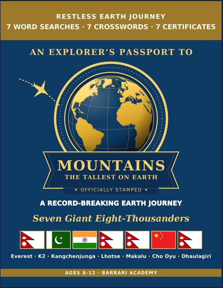
Highest Mountains: Learning & Activity — a printable learning & activity book, with certificates.
See what's inside the book → Printed book on Amazon →
Highest Mountains Activity Pack — extra puzzles & activities.
See what's inside the pack →✓ Instant PDF · US Letter + A4 · Explorer Certificate · Built by a teacher · 30-day money-back guarantee
Lhotse Facts for Kids
About Lhotse: Lhotse is the fourth-highest mountain at 8,516 m. It stands right beside Everest, joined by a high saddle called the South Col. Its name means 'South Peak' in Tibetan. Its name means 'South Peak' in Tibetan
Height: 8,516 m (27,940 ft) tall · Country: On the border of Nepal and China (Tibet) · Range: In the Himalaya, joined to Everest · Record: The fourth-highest mountain in the world · Nature: A sharp peak linked to Everest by a high mountain saddle · First Climbed: In 1956, by a Swiss team · Notable Feature: Climbers share the lower route with Everest · World Rank: The #4 highest mountain on Earth
📖 Read more: The Highest Mountains in the World →
Free Lhotse Geography Worksheet — FAQ
- Is the Lhotse worksheet free?
- Yes. Enter a parent email and we'll send the printable Lhotse geography worksheet — US Letter and A4 — right away, free.
- What age is the Lhotse worksheet for?
- It's designed for kids ages 8–12, at home or in the classroom.
- What's a fun fact about Lhotse for kids?
- Its name means 'South Peak' in Tibetan