

Free Lake Tanganyika Geography Worksheet for Kids
 Sample preview — enter your email to unlock the full printable
 Your instant Lake Tanganyika explorer sheet — fun facts and activities. Enter your email and we'll send it now.
Instant PDF · Includes US Letter + A4
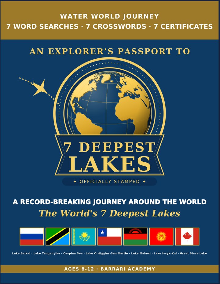
Deepest Lakes: Learning & Activity — a printable learning & activity book, with certificates.
See what's inside the book → Printed book on Amazon →
Deepest Lakes Activity Pack — extra puzzles & activities.
See what's inside the pack →✓ Instant PDF · US Letter + A4 · Explorer Certificate · Built by a teacher · 30-day money-back guarantee
Lake Tanganyika Facts for Kids
About Lake Tanganyika: Lake Tanganyika stretches along the floor of the East African Rift, bordered by four different countries. Its isolated waters have produced hundreds of unique fish species that evolved nowhere else on Earth. A Living Laboratory of Evolution — Its isolated fish species helped scientists understand evolution.
Location: East Africa, in the Great Rift Valley · Max Depth: 1,470 m (4,823 ft) The second-deepest lake on Earth. · Area: 32,900 km² (12,700 mi²) The longest freshwater lake in the world. · Formation: The East African Rift widening apart · Countries: Tanzania, DR Congo, Burundi & Zambia Shared among four different nations. · Wildlife: Hundreds of unique cichlid fish species · Freshwater Held: About 16% of Earth's unfrozen fresh water · Notable Feature: The second-oldest lake on Earth Formed roughly 9 to 12 million years ago. · World Rank: 2nd-deepest lake on Earth Ranks just behind Lake Baikal in depth.
Free Lake Tanganyika Geography Worksheet — FAQ
- Is the Lake Tanganyika worksheet free?
- Yes. Enter a parent email and we'll send the printable Lake Tanganyika geography worksheet — US Letter and A4 — right away, free.
- What age is the Lake Tanganyika worksheet for?
- It's designed for kids ages 8–12, at home or in the classroom.
- What's a fun fact about Lake Tanganyika for kids?
- A Living Laboratory of Evolution — Its isolated fish species helped scientists understand evolution.