

Free Great Slave Lake Geography Worksheet for Kids
 Sample preview — enter your email to unlock the full printable
 Your instant Great Slave Lake explorer sheet — fun facts and activities. Enter your email and we'll send it now.
Instant PDF · Includes US Letter + A4
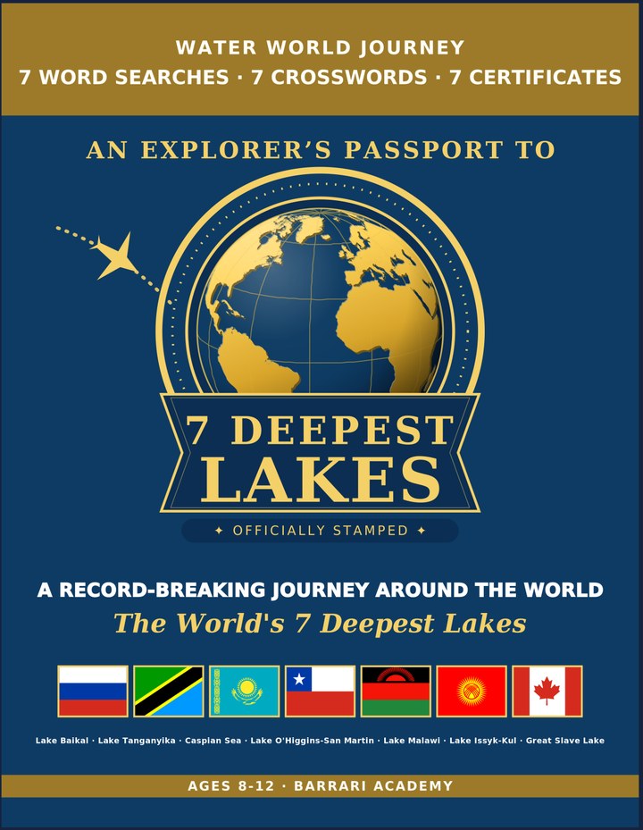
Deepest Lakes: Learning & Activity — a printable learning & activity book, with certificates.
See what's inside the book → Printed book on Amazon →
Deepest Lakes Activity Pack — extra puzzles & activities.
See what's inside the pack →✓ Instant PDF · US Letter + A4 · Explorer Certificate · Built by a teacher · 30-day money-back guarantee
Great Slave Lake Facts for Kids
About Great Slave Lake: Great Slave Lake lies in Canada's remote Northwest Territories, carved deep by glaciers during the last ice age. For more than half the year its surface freezes thick enough to drive trucks across, connecting isolated northern communities by ice road. Home to Real Ice Roads — Frozen thick enough each winter for trucks to drive across.
Location: Northwest Territories, Canada · Max Depth: 614 m (2,014 ft) The deepest lake in North America. · Area: 27,000 km² (10,400 mi²) One of the largest lakes on the continent. · Formation: Carved out by ice-age glaciers · Countries: Canada (entirely) · Wildlife: Lake trout & whitefish · Freshwater Held: A major freshwater reserve in northern Canada · Notable Feature: Frozen solid for over half the year · World Rank: Deepest lake in North America
Free Great Slave Lake Geography Worksheet — FAQ
- Is the Great Slave Lake worksheet free?
- Yes. Enter a parent email and we'll send the printable Great Slave Lake geography worksheet — US Letter and A4 — right away, free.
- What age is the Great Slave Lake worksheet for?
- It's designed for kids ages 8–12, at home or in the classroom.
- What's a fun fact about Great Slave Lake for kids?
- Home to Real Ice Roads — Frozen thick enough each winter for trucks to drive across.