

Free The Kamchatka Earthquake Geography Worksheet for Kids
 Sample preview — enter your email to unlock the full printable
 Your instant The Kamchatka Earthquake explorer sheet — fun facts and activities. Enter your email and we'll send it now.
Instant PDF · Includes US Letter + A4
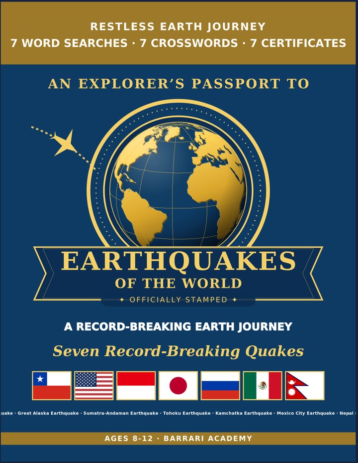
Great Earthquakes: Learning & Activity — a printable learning & activity book, with certificates.
See what's inside the book → Printed book on Amazon →
Great Earthquakes Activity Pack — extra puzzles & activities.
See what's inside the pack →✓ Instant PDF · US Letter + A4 · Explorer Certificate · Built by a teacher · 30-day money-back guarantee
The Kamchatka Earthquake Facts for Kids
About The Kamchatka Earthquake: The 1952 Kamchatka quake was the first ever recorded at magnitude 9.0. It happened along the Pacific 'Ring of Fire'. Its tsunami traveled all the way across the Pacific to Hawaii. Its waves were still measurable thousands of km away
Location: Under the sea off the Kamchatka Peninsula, Russia · Country: Russia · Year: It struck in 1952 · Magnitude: Magnitude 9.0 · Record: The first quake ever measured at magnitude 9.0 · Plate Boundary: Where the Pacific plate slides under Kamchatka · Tsunami: It sent waves right across the Pacific to Hawaii · Notable Feature: It struck along the fiery edge of the Pacific
Free The Kamchatka Earthquake Geography Worksheet — FAQ
- Is the The Kamchatka Earthquake worksheet free?
- Yes. Enter a parent email and we'll send the printable The Kamchatka Earthquake geography worksheet — US Letter and A4 — right away, free.
- What age is the The Kamchatka Earthquake worksheet for?
- It's designed for kids ages 8–12, at home or in the classroom.
- What's a fun fact about The Kamchatka Earthquake for kids?
- Its waves were still measurable thousands of km away