

Free The Amazon River Geography Worksheet for Kids
 Sample preview — enter your email to unlock the full printable
 Your instant The Amazon River explorer sheet — fun facts and activities. Enter your email and we'll send it now.
Instant PDF · Includes US Letter + A4
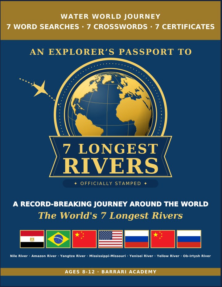
Longest Rivers: Learning & Activity — a printable learning & activity book, with certificates.
See what's inside the book → Printed book on Amazon →
Longest Rivers Activity Pack — extra puzzles & activities.
See what's inside the pack →✓ Instant PDF · US Letter + A4 · Explorer Certificate · Built by a teacher · 30-day money-back guarantee
The Amazon River Facts for Kids
About The Amazon River: The Amazon River winds through the world's largest rainforest, carrying an astonishing amount of water from the Andes Mountains all the way to the Atlantic Ocean. It has no bridges crossing its main channel anywhere along its entire length. No Bridges Cross It — Its main channel is so wide and remote that no bridge spans it.
Location: Northern South America, flowing east · Length: 6,400 km (3,977 mi) · Source: Andes Mountains, Peru · Mouth: The Amazon Delta, Atlantic Ocean · Countries: Brazil, Peru, Colombia & 6 more · River Basin: ~7 million km² (2.7 million mi²) · Wildlife: Pink river dolphins & piranhas · Major Cities: Manaus & Iquitos · World Rank: Carries more water than the next 7 largest rivers
📖 Read more: The Longest Rivers in the World →
Free The Amazon River Geography Worksheet — FAQ
- Is the The Amazon River worksheet free?
- Yes. Enter a parent email and we'll send the printable The Amazon River geography worksheet — US Letter and A4 — right away, free.
- What age is the The Amazon River worksheet for?
- It's designed for kids ages 8–12, at home or in the classroom.
- What's a fun fact about The Amazon River for kids?
- No Bridges Cross It — Its main channel is so wide and remote that no bridge spans it.