

Free Marshall Islands Geography Worksheet for Kids
 Sample preview — enter your email to unlock the full printable
 Your instant Marshall Islands explorer sheet — fun facts and activities. Enter your email and we'll send it now.
Instant PDF · Includes US Letter + A4
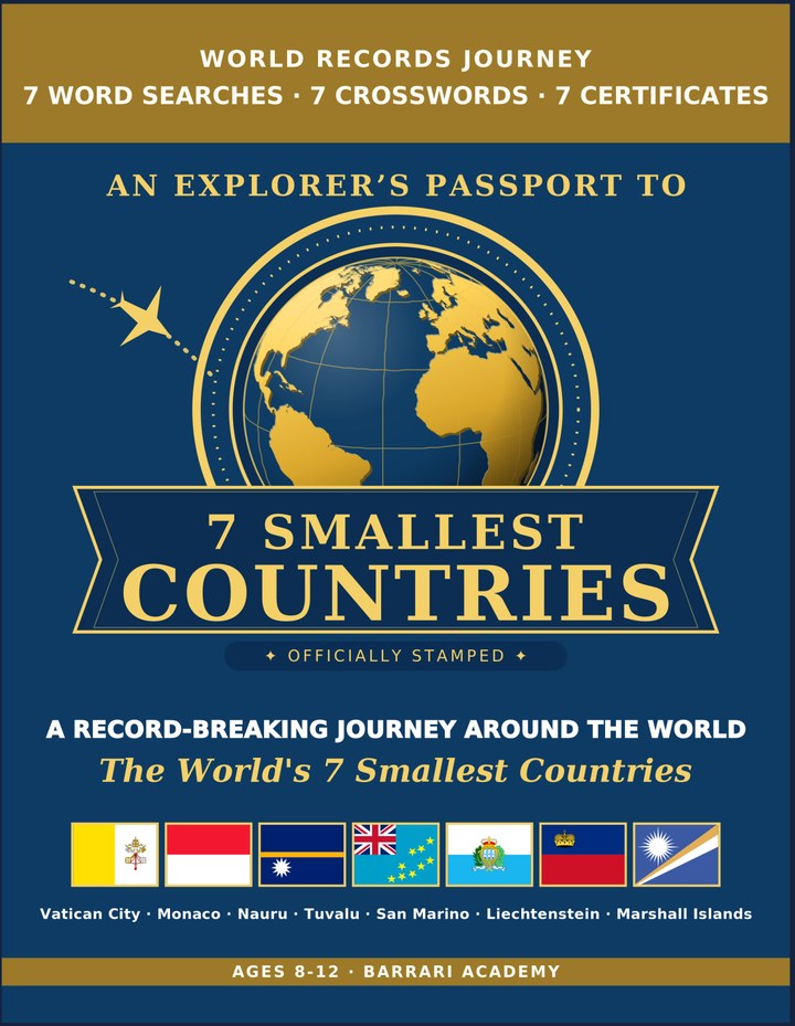
Smallest Countries: Learning & Activity — a printable learning & activity book, with certificates.
See what's inside the book → Printed book on Amazon →
Smallest Countries Activity Pack — extra puzzles & activities.
See what's inside the pack →✓ Instant PDF · US Letter + A4 · Explorer Certificate · Built by a teacher · 30-day money-back guarantee
Marshall Islands Facts for Kids
About Marshall Islands: The Marshall Islands is made up of 29 coral atolls and 5 islands spread across a huge stretch of the Pacific Ocean. Its people are skilled ocean navigators with a seafaring tradition going back thousands of years. The country works closely with the United States through a special partnership agreement. Legendary Navigators — Marshallese sailors historically used special 'stick charts' made of palm ribs and shells to map ocean swells and currents.
Capital & Landmark: Majuro · Population: ~42,000 people · Government: Presidential Republic · Nationhood: Independent since 1986 · Land Area: 181 km² (70 mi²) · Geographic Feature: Coral Atolls · Language: Marshallese & English · Currency: US Dollar · National Dish: Coconut Rice
📖 Read more: The Biggest and Smallest Countries in the World →
Free Marshall Islands Geography Worksheet — FAQ
- Is the Marshall Islands worksheet free?
- Yes. Enter a parent email and we'll send the printable Marshall Islands geography worksheet — US Letter and A4 — right away, free.
- What age is the Marshall Islands worksheet for?
- It's designed for kids ages 8–12, at home or in the classroom.
- What's a fun fact about Marshall Islands for kids?
- Legendary Navigators — Marshallese sailors historically used special 'stick charts' made of palm ribs and shells to map ocean swells and currents.