

Free La Paz Geography Worksheet for Kids
 Sample preview — enter your email to unlock the full printable
 Your instant La Paz explorer sheet — fun facts and activities. Enter your email and we'll send it now.
Instant PDF · Includes US Letter + A4
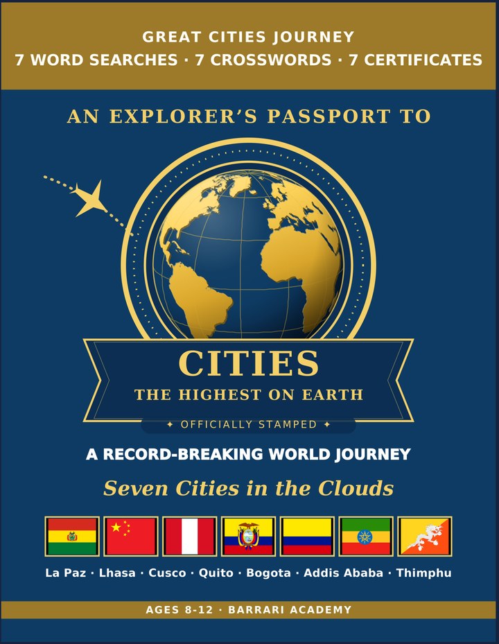
Highest Cities: Learning & Activity — a printable learning & activity book, with certificates.
See what's inside the book → Printed book on Amazon →
Highest Cities Activity Pack — extra puzzles & activities.
See what's inside the pack →✓ Instant PDF · US Letter + A4 · Explorer Certificate · Built by a teacher · 30-day money-back guarantee
La Paz Facts for Kids
About La Paz: La Paz sits high in the Andes and is Bolivia's seat of government. The city's Mi Teleferico cable cars carry people over steep valleys. Neighboring El Alto rises even higher, above 4,000 m above sea level. Its cable cars form one of the world's longest urban ropeways
Location: Western Bolivia, in the Andes Mountains · Country: Bolivia · Height: About 3,640 m above sea level · Continent: South America · Setting: In a deep canyon valley ringed by high Andes peaks · Famous For: Its Mi Teleferico cable-car lines floating above the city · Claim To Fame: The highest capital city in the world
Free La Paz Geography Worksheet — FAQ
- Is the La Paz worksheet free?
- Yes. Enter a parent email and we'll send the printable La Paz geography worksheet — US Letter and A4 — right away, free.
- What age is the La Paz worksheet for?
- It's designed for kids ages 8–12, at home or in the classroom.
- What's a fun fact about La Paz for kids?
- Its cable cars form one of the world's longest urban ropeways