

Free Ganvie Geography Worksheet for Kids
 Sample preview — enter your email to unlock the full printable
 Your instant Ganvie explorer sheet — fun facts and activities. Enter your email and we'll send it now.
Instant PDF · Includes US Letter + A4
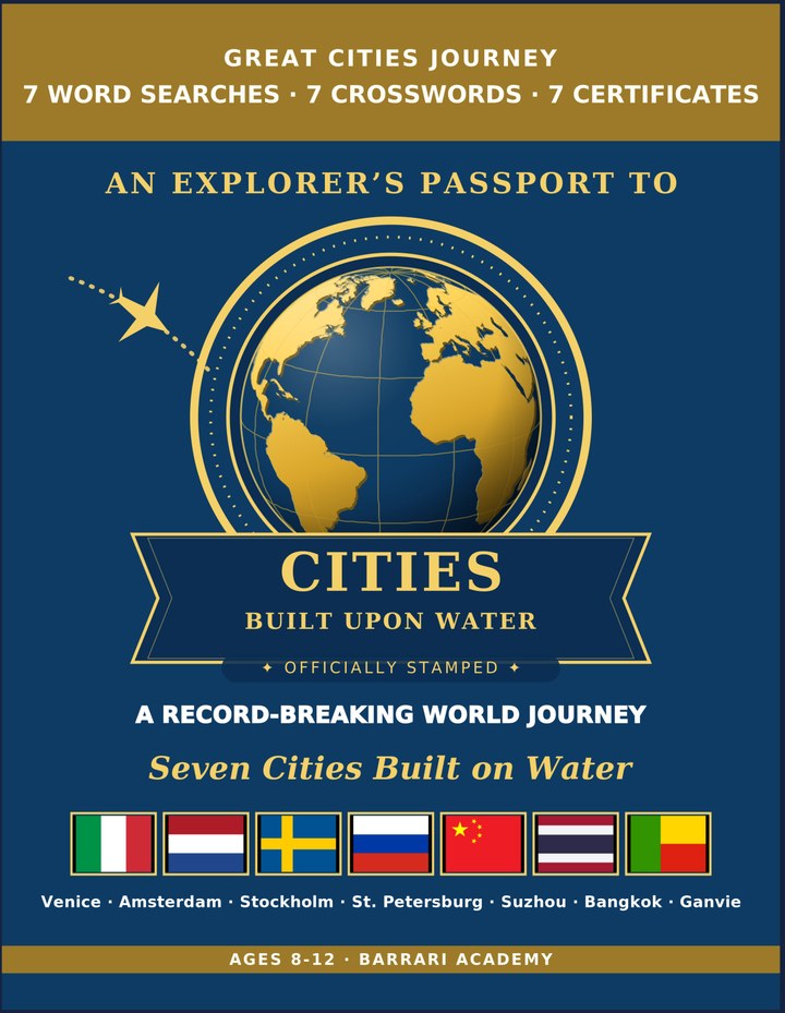
Cities on Water: Learning & Activity — a printable learning & activity book, with certificates.
See what's inside the book → Printed book on Amazon →
Cities on Water Activity Pack — extra puzzles & activities.
See what's inside the pack →✓ Instant PDF · US Letter + A4 · Explorer Certificate · Built by a teacher · 30-day money-back guarantee
Ganvie Facts for Kids
About Ganvie: Ganvie was built on Lake Nokoue by the Tofinu people about 400 years ago. With around 20,000 people, it is the largest lake village in Africa. Villagers travel by canoe and mostly live by fishing. Its name means 'we survived' in the local language
Location: In southern Benin, north of the city of Cotonou · Country: Benin · Water Feature: A village of wooden houses on stilts above the water · Continent: Africa · Setting: Built in the middle of Lake Nokoue · Famous For: Homes, schools, and markets that all sit on the lake · Claim To Fame: Nicknamed the 'Venice of Africa'
Free Ganvie Geography Worksheet — FAQ
- Is the Ganvie worksheet free?
- Yes. Enter a parent email and we'll send the printable Ganvie geography worksheet — US Letter and A4 — right away, free.
- What age is the Ganvie worksheet for?
- It's designed for kids ages 8–12, at home or in the classroom.
- What's a fun fact about Ganvie for kids?
- Its name means 'we survived' in the local language